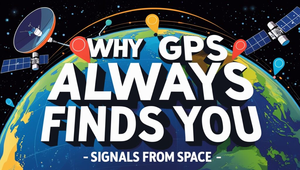
Why GPS Always Finds You | Signals from Space
Have you ever wondered how your phone always knows where you are? Whether you’re driving, walking, or even lost in the woods, GPS helps you find your way. It seems almost magical that these signals from space can pinpoint your exact spot. But behind this simplicity is a smart system built on years of science and technology. Understanding how GPS constantly locates you shows just how much engineering went into something so reliable.
The Fundamentals of GPS Technology:
How GPS Works: A Basic Overview:
GPS relies on satellite signals to figure out your location. Think of it like a giant game of hide and seek, where satellites act as spotters. Your device gets signals from at least four satellites in space. These signals tell your device how far away each satellite is. Using this info, your device calculates where you are by using a method called trilateration.
The process begins when a satellite sends a radio signal to your phone. The signal includes the time it was sent, and your device notes when it arrives. By comparing these times, your device figures out how far the satellite is. With signals from four satellites, your device can accurately pinpoint your position, often within just a few meters.
The Constellation of GPS Satellites:
Around 30 GPS satellites are orbiting Earth at any given time. These satellites are spread out across six orbital planes, ensuring space coverage everywhere. They circle our planet at about 12,000 miles above the surface and travel at 14,000 miles per hour. Their orbits are carefully planned so that at any location, at least four satellites are visible.
GPS satellites stay in constant contact with ground control stations. These stations monitor the satellites’ health and update their software. Regular maintenance keeps the network working smoothly, so your GPS can always find you quickly and accurately.
Signals from Space: What Makes GPS Possible:
Satellites broadcast radio signals using special frequency bands. These radio waves travel through space at the speed of light. Each satellite has an atomic clock onboard, which keeps time with incredible precision, more accurate than any clock on Earth.
The signals include exactly what time they were sent. Your device uses this information to calculate how long the signal took to arrive. This helps determine the distance from each satellite to your device. When these distances are combined with satellite positions, your location becomes crystal clear.
How GPS Devices Always Find You:
Triangulation and Trilateration:
Some think GPS uses triangulation, but it’s really trilateration. This process involves measuring the distance from your device to multiple satellites. Imagine you’re in a field, and you see four towers. If you know how far away each tower is, you can figure out exactly where you’re standing.
The distance is calculated by timing how long the satellite signal took to reach your device. With four signals, your device can lock onto your exact spot. Challenges like tall buildings or thick forests can block signals, making accuracy a bit harder. Still, GPS can usually figure out your location pretty well.
Constant Communication with Satellites:
Your phone constantly communicates with GPS satellites. It’s always receiving signals and updating your position. If signals are temporarily blocked, say, in a tunnel, your device will use that last known location or switch to other systems for help. Assisted GPS, or A-GPS, also uses cell towers and Wi-Fi to help locate you faster when satellite signals are weak.
Redundancy and Error Correction:
GPS is designed with backup plans. It receives signals from multiple satellites, so if one fails or gives a wrong reading, others can compensate. These overlapping signals improve accuracy through error correction techniques. Differential GPS (DGPS) and other augmentation systems add even more precision, especially important for surveying, aviation, and autonomous vehicles.
Space Signals and Ground Infrastructure:
Ground Control and Satellite Management:
Ground stations play a key role in GPS. They keep an eye on satellites, ensure they stay in the right orbit, and fix any glitches. This constant monitoring guarantees your device gets consistent, reliable signals. Regular updates from ground stations keep the whole system running smoothly across the globe.
Satellite Signal Transmission and Frequencies:
GPS signals primarily travel on two main frequency bands: L1 and L2. The newer L5 band is also used for more precise navigation, especially for safety-critical applications. These signals are coded for security and to prevent interference. Signal strength can weaken through atmospheric layers, but advanced technology helps mitigate this issue.
Challenges and Limitations:
Obstructions like tall buildings, tunnels, or dense trees can block signals, causing errors or delays. The ionosphere and troposphere, layers of Earth’s atmosphere, also affect signal strength. Modern GPS devices use signals from multiple satellites and correction systems to overcome these problems and improve accuracy.
Future Innovations and Enhancements:
Next-Generation Satellite Systems:
GPS continues to get better. GPS III satellites offer improved accuracy, stronger signals, and better security. These satellites help meet growing demands for precise navigation and tracking, especially for military and civilian uses.
Integration with Other Navigation Systems:
Most devices now combine signals from different global navigation satellite systems (GNSS) like GLONASS, Galileo, and BeiDou. This multi-constellation approach increases coverage and accuracy. It makes tracking more reliable, especially in challenging environments.
Emerging Technologies in Signals:
Satellite-based augmentation systems (SBAS) improve GPS accuracy even more. They’re used to support IoT devices and autonomous vehicles, which need pinpoint location data. Future tech like quantum sensing and new frequency bands could make GPS even smarter and faster, opening the door for new uses.
Conclusion:
GPS always finds you because of a complex network of satellites, ground stations, and advanced technology working behind the scenes. From atomic clocks in space to precise error correction, everything is designed for maximum reliability. As technology advances, GPS will become even more accurate and helpful in our daily lives. Understanding the science behind GPS helps us appreciate just how impressive this modern marvel really is. It’s a perfect example of how space-based signals and ground infrastructure work together to keep us connected and on course. Whether you’re navigating city streets or exploring the wilderness, remember: those signals from space are always working to find you.
FAQs:
1. How does GPS know my exact location?
It uses signals from at least four satellites to calculate your position using trilateration.
2. What are GPS satellites, and how many are there?
About 30 satellites orbit Earth in six paths, constantly sending timing signals to devices.
3. What makes GPS signals so accurate?
Atomic clocks on satellites, constant updates, and error correction ensure precise results.
4. Why does GPS still work even in remote places?
Satellites cover the entire Earth, and devices can also use A-GPS, Wi-Fi, or cell towers.
5. What is the difference between triangulation and trilateration?
Trilateration measures distance to satellites; triangulation uses angles—GPS uses trilateration.
6. Can GPS signals be blocked or affected?
Yes—tunnels, buildings, trees, and the atmosphere can weaken or delay signals, but GPS adapts.